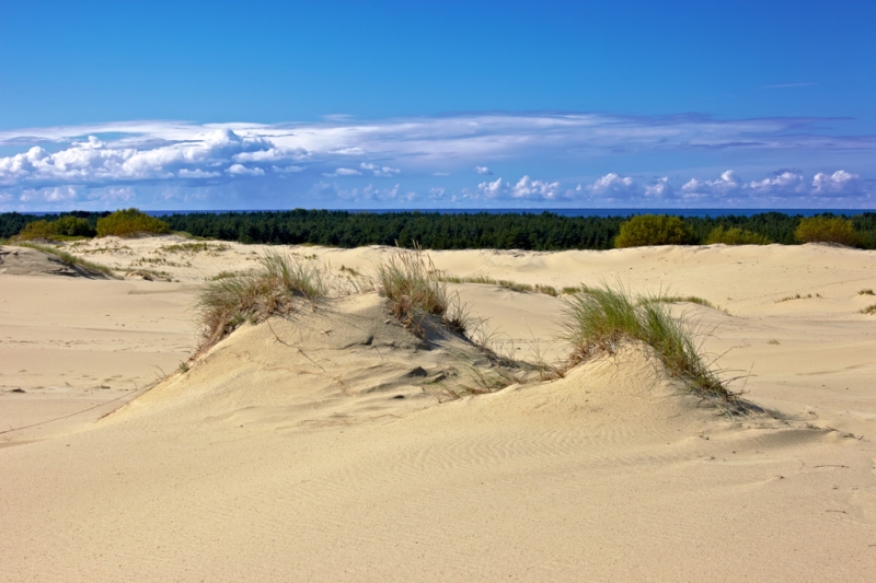
The Curonian Spit National Park occupies the southern half (49 out of 98 km, to the border with Lithuania) of the strip of land of the same name between the Curonian Lagoon and the Baltic Sea. By the standards of national parks, it is small: 6.6 thousand hectares – half the size of Losiny Island located in the north of Moscow. But lovers of nature and hiking have plenty of places to roam here. And there’s something to think about: this UNESCO World Heritage site is a unique example of what unwise use of natural resources can lead to, and how it can be turned around.
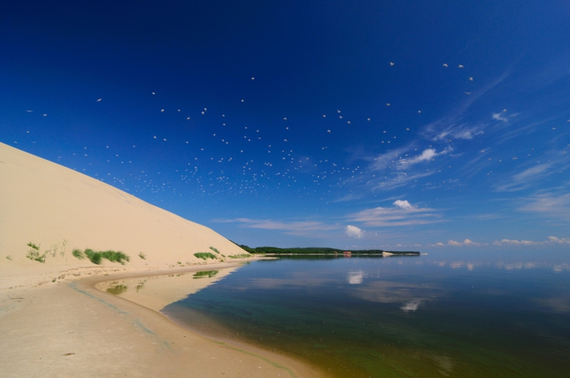
The name of the park and the sandy embankment where it is located – by the way, the longest in the world – comes from the German KurischeNehrung, that is, Curonian Spit (Curonians, they are also Kors – a tribe that once lived on the shores of the Baltic). The Russian version originally sounded like “Kursk Spit”, but in 1985 it was replaced by the current one, in order to avoid unnecessary associations with Kursk.
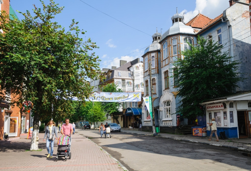
The largest city closest to the spit is
Kaliningrad, from where you can take a train or bus to the town of Zelenogradsk, located right next to the spit, and from there take a minibus that runs along the spit. Or you can rent a car and not bother studying the schedule and transfers. However, entry into the territory of the national park is paid – 300 rubles. from a car. But by car you can quickly get to Zelenogradsk – at least for the Murarium museum with a collection of cats (from toys and postcards to dishes and household appliances) and a walk along the seaside embankment; and if the weather permits, you can sunbathe and swim there in comfort.
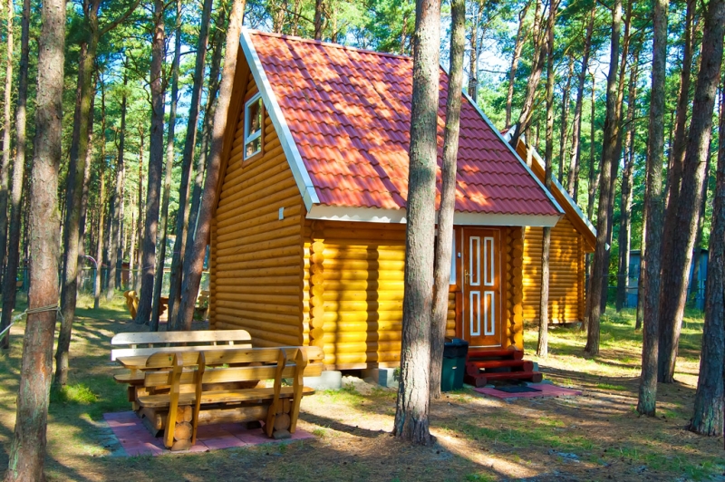
On the Curonian Spit itself there are three small villages, Lesnoy, Rybachy and Morskoye, where Kaliningrad residents and vacationers from other cities and villages rent housing in the private sector for the summer. There are also several hotels, tourist centers and a camping site. A full-fledged beach holiday may not be possible – the cold Baltic water is in no hurry to warm up and the weather suitable for swimming does not last all summer. But walks in the fresh sea air themselves are a separate pleasure, as is swimming in the warm and fresh water of the Curonian Lagoon and the largest lake of the Chaika Spit (near Rybachy).
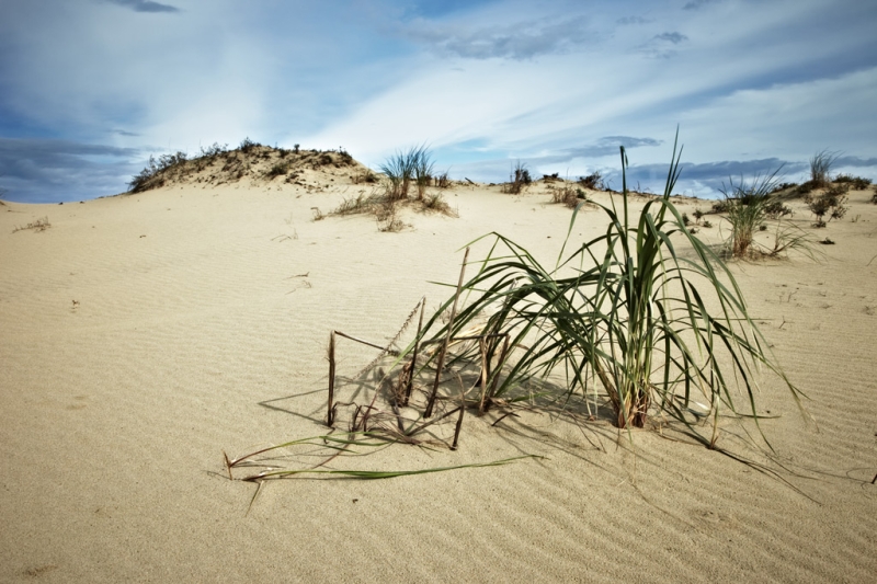
The Baltic coast is separated from the main part of the spit, overgrown with forest, by a high (from 3 to 15 meters) foredune, partially overgrown with grass, rare flowers and shrubs. She is the main local attraction. This huge shaft is man-made. In the 19th century, people built it to prevent the spit from turning into a desert. And it began to become deserted… yes, also because of people. Due to the active cutting down of trees, by the beginning of the 19th century, sand brought from the Baltic by wind and waves began to form huge dunes that absorbed the remains of forests, roads and houses in fishing villages – the predecessors of three modern villages.
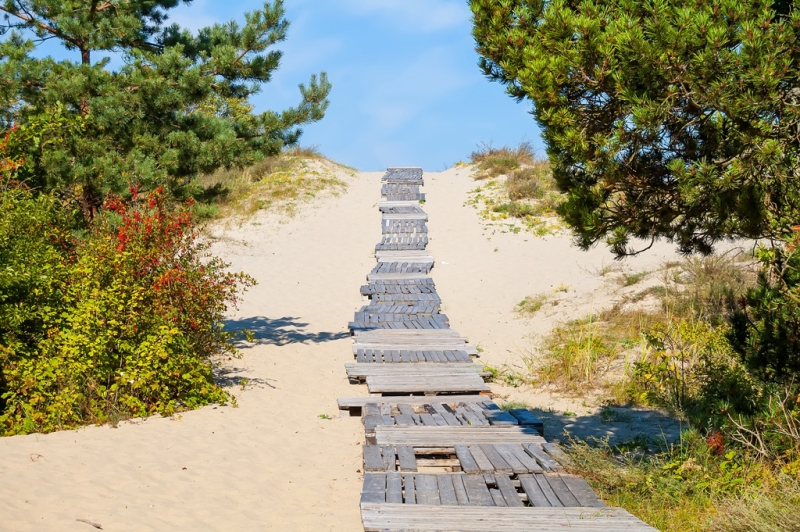
The advance of the sand has not been stopped forever – it continues, but the foredune and newly planted trees stand in its way. Due to erosion, the foredune continually crumbles and gaps appear in it, which are patched by volunteers and employees of the national park. Walking along the foredune is strictly prohibited, and crossing it when going to the beach is allowed only on special wooden floorings.
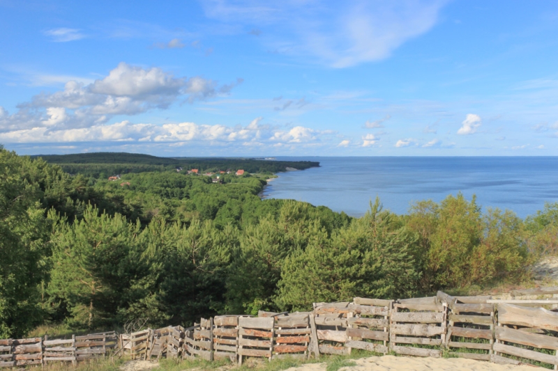
There are other interesting routes. For example, the two-kilometer walking route Mueller Height, passing along the top of the Bolotnaya dune. This dune almost swallowed up the village of Rybachy (then it was called Rositten),
but was stopped and secured by forest plantations in 1882. Another route is laid along the slope of the Orekhovaya dune at the 42nd kilometer of the highway, running across the entire spit. It allows you to climb to the highest point of the spit, from where you can enjoy a panoramic view of the surrounding area.
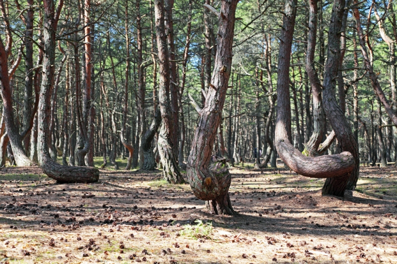
These are, of course, not the only hiking trails. You can, for example, take a walk between the centuries-old trees of the Royal Forest, which found Emperor Peter I at the 6th kilometer of the highway. You can also look at the bizarrely twisted, or even knotted, pines of the Dancing Forest. The Dancing Forest at the 37th kilometer is perhaps the most famous and most mysterious place on the Curonian Spit. There are many hypotheses explaining why the local pine forest staged such a disco: from mystical ones, which say that witches gather here for a Sabbath and doors to other worlds open, to scientific ones (a geomagnetic anomaly or caterpillars damaging the apical buds of very young pine trees),
– but the true reason has not yet been established.
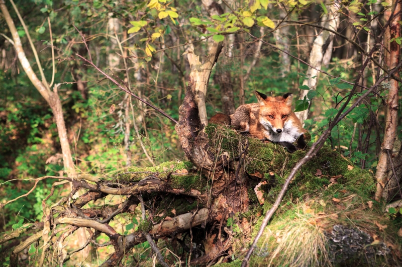
Walking through the forest and the edge of the bay, you can, if you’re lucky, meet representatives of the local fauna: elk, fox or wild boar. Or you don’t have to rely on luck and go on an excursion to the field station of the Fringilla biological station, located on the 23rd kilometer of the highway. True, they won’t show moose there, but you can see with your own eyes how scientists catch and band the birds. There are 262 species of them on the spit and most of them are migratory.
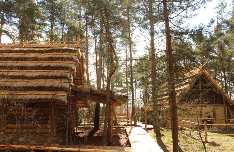
Photo: www.park-kosa.ru
You can learn more about the nature and history of the Curonian Spit and, of course, about the sand disaster, which not all previously existing settlements managed to survive, at the Museum Complex visitor center at the 14th kilometer of the highway. Both adults and children will certainly be impressed by the interactive exhibition of the open-air museum “Ancient Sambia” and the funny wooden sculptures of evil spirits in the Museum of Russian Superstitions, located right there.

